Home / Cut/fill maps
Cut/fill maps
A cut/fill map colors the site by how deep the cut or fill is at every point. It shows where the dirt comes from and where it goes. We build one with an earthwork takeoff, or from surfaces you already have.
What is on the map
- Color bands by depth. On our maps red is cut and blue is fill
- Cut and fill depths printed on a grid
- Quantities called out by region or phase
- A legend and scale
- Large sites split onto more than one sheet
What crews use it for
- Seeing where the dirt comes from and where it goes
- Planning where to start cutting and which way to haul
- Checking the balance by area or phase
- Showing the owner or the superintendent the plan on one sheet
Sample maps
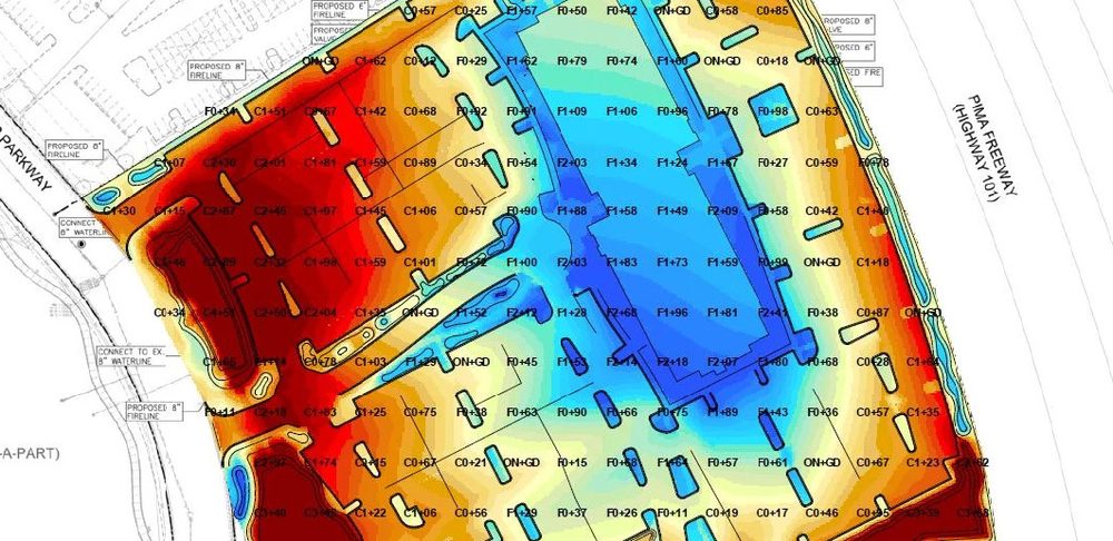
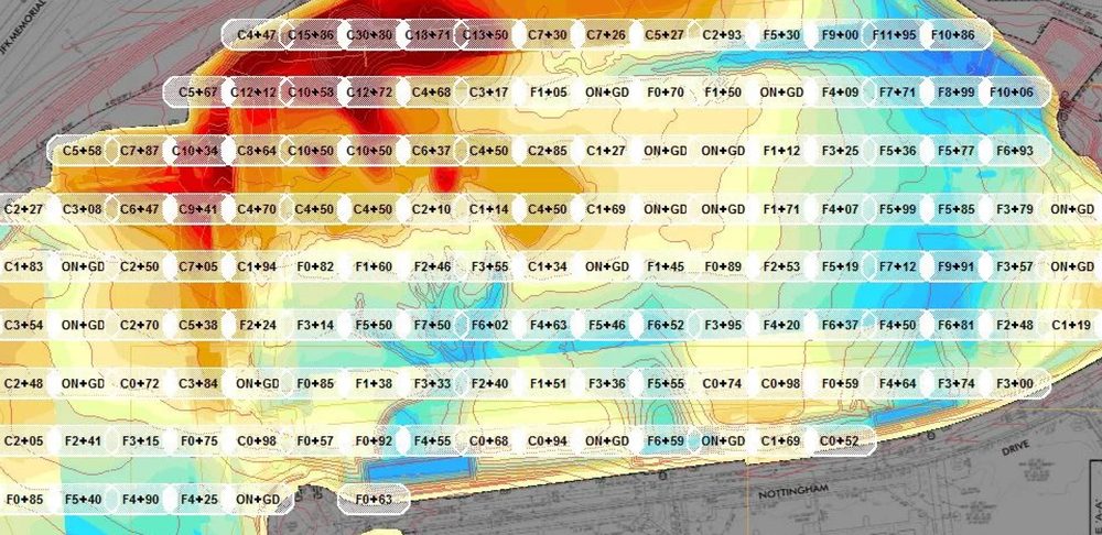
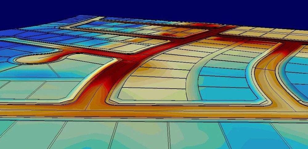
From Affordable Site Model jobs.
What we need from you
For a map with a takeoff, the same files as the takeoff: grading plans and the geotech report. For a map from surfaces you already have, send the existing and design surfaces as LandXML.
Questions
Which color is cut?
On our maps red is cut and blue is fill.
Can I get a map without a takeoff?
Yes, if you have the existing and design surfaces. Send them as LandXML.
How fast is turnaround?
3 to 5 business days.
Send the plans, get a price
Quotes are free and come before any work starts. Delivery is 3 to 5 business days, nationwide.